
Surveying and Mapping
At Landmark Surveying & Engineering, we redefine the boundaries of precision with our Surveying and Mapping services. Venturing into the landscapes of California, Nevada, and Arizona, we capture the essence of every terrain, every elevation, and every boundary. With technology at our fingertips and expertise as our guide, we ensure every map is a canvas of accuracy.
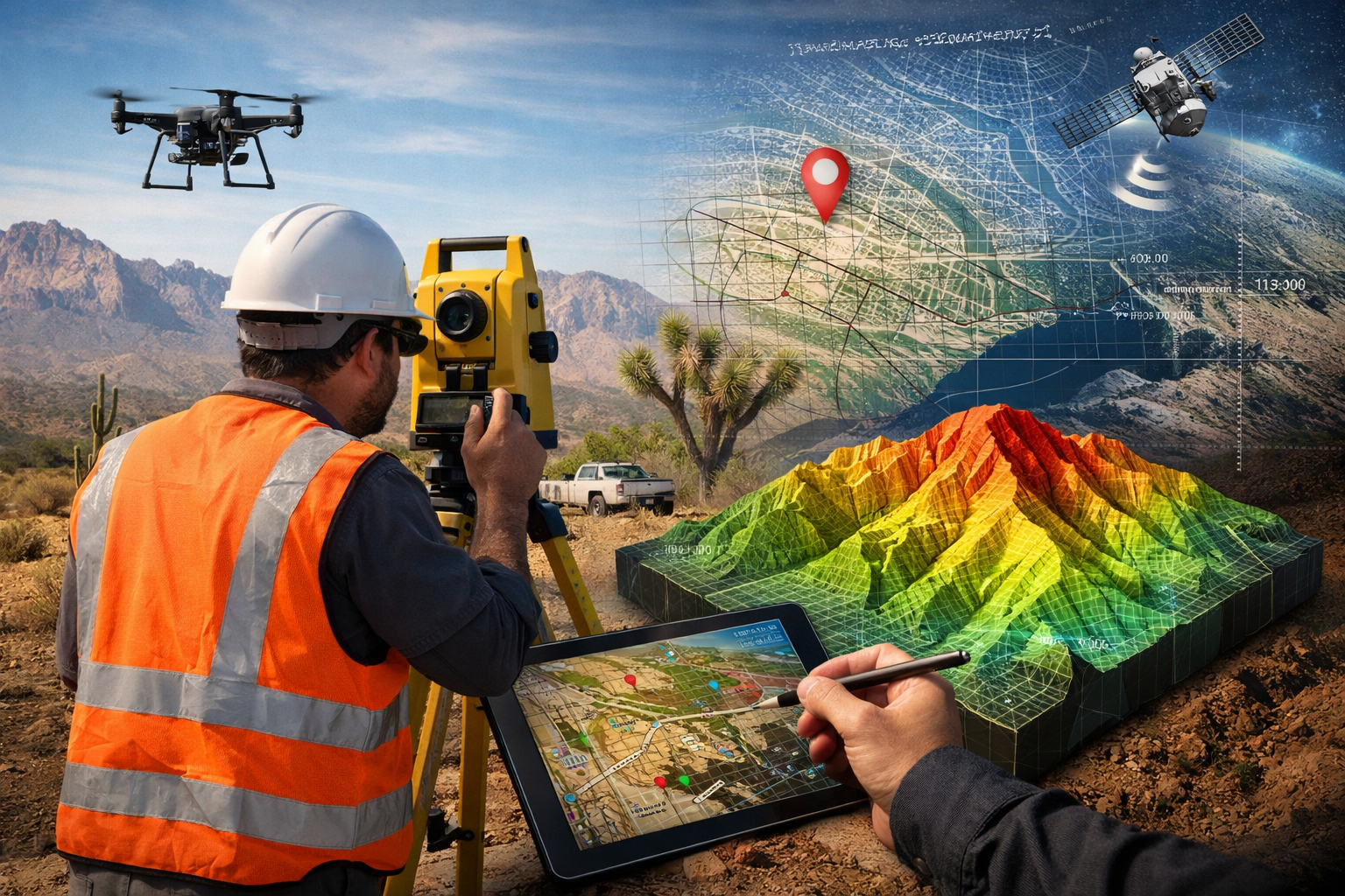
From digital terrain modeling to land division, our approach to surveying and mapping is an intricate dance between technology and technique. We understand that accuracy is not just about measurements but about painting a picture that will guide generations to come.
Beyond measurements and calculations, our surveying is a tribute to the landscapes we honor.
Precision Meets Technique
- Advanced Topographical Surveys for Comprehensive Landscape Analysis.
- Boundary Determination with Pinpoint Accuracy.
- Harnessing GIS and Aerial Techniques for Enhanced Mapping Solutions.
Why Our Mapping Stands Out
Landmark Surveying & Engineering takes pride in providing surveying and mapping services that set industry benchmarks.
- Utilizing State-of-the-Art Technology for Seamless Surveys.
- Expert Teams with Decades of Field Experience.
- Detailed Site Plans for Varied Project Needs.
- Commitment to Continuous Learning and Upgradation.
- Customer-Centric Approach Ensuring Detailed Reports and Outcomes.
Frequently Asked Questions
Through advanced technology, field expertise, and rigorous quality checks.
We offer both, tailored to client specifications and project requirements.
Absolutely, our team and technology are equipped for projects of any scale.
Continuous training, tech upgradation, and industry collaboration ensure we stay ahead.